
Walk a Lackawanna County Street
A Lackawanna County street search begins with an exact physical address, not a presumed roster. The county Assessment Database accepts an owner, street address, or parcel identifier. Record the parcel ID, owner field, and legal-description clues that appear in the result. Compare that result with the tax system only to see how it separates the location address from the mailing destination. Next, use county GIS layers to orient the parcel and its surroundings. The Recorder then supplies the recorded transaction trail, while election and historic-directory sources have their own narrow, documented roles.
- Search the exact address in the Lackawanna County Assessment Database. Save the parcel ID, owner field, situs address, and any legal-description clue shown in that result.
- Open the county GISViewer services to place the parcel among the street’s mapped parcels and confirm its municipal setting.
- Check the current-year tax search for the distinct location and mailing fields. Treat a tax-mail destination as correspondence information, never as proof of occupancy.
- Search the current owner as grantee in the Recorder index, inspect the cited document, and work backward through the prior grantor using the legal description.
- For a dated historical entry, ask the local repositories whether the relevant volume has a criss-cross or street section. Use an authorized election-list request only if its statutory conditions and permitted use fit the purpose.
That order keeps each source in its lane. It also avoids turning a map label or owner field into a claim about everyone at an address.
Lackawanna County Assessment Street Fields
The Assessment Database is the most direct current-address starting point for a Lackawanna County street directory search. Its Basic Search has parcel, owner, and street routes, and the Advanced/Sales Search adds criteria such as municipality, sales date, sales price, land-use code, and street. The street field recognizes an exact-address pattern when a number is included, begins-with behavior for a road name, and contains searching with a leading asterisk or percent sign. Results should be read as the county presents them because the portal’s public-data disclaimer and update schedules still apply.
| Assessment field | How it works | Useful street-directory reading |
|---|---|---|
| Parcel Number | Optional text field, up to 30 characters. | Use the parcel or PIN as the steady property key. |
| Owner Name | Optional 40-character field in Last First order. | Follow a recorded owner lead after finding the address. |
| Street | Optional 20-character field; an address can be exact, while a road name begins with the entered text. | Use a current house number and street name, then check the returned parcel. |
| Municipality | Optional dropdown. | Narrows a street or parcel search to the proper local jurisdiction. |
| Sort and page controls | Parcel, owner, location, or municipality; 15 to 50 results per page. | Helps review a road-name result without treating it as a household list. |
The Assessment advanced-search form is shown below. It is useful when a street needs a municipality or sales-related criterion, but the returned property record remains the item to verify.
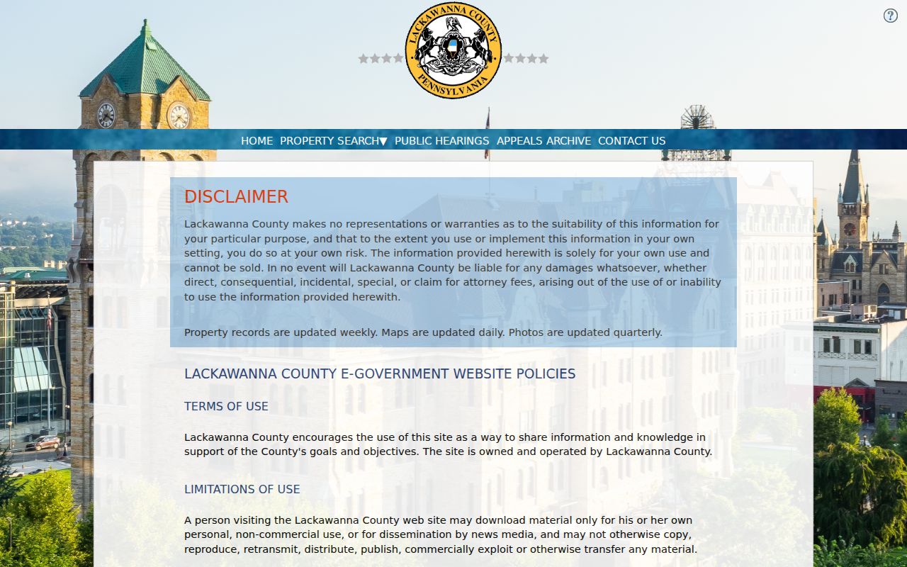
A street field can narrow the work quickly. It does not establish a complete resident list, and a current assessment description may reflect the countywide reassessment completed in 2025.
Note: Preserve the search date because county assessment data, maps, and photographs update on different schedules.
Map Lackawanna County Parcels by Street
The county’s GISViewer supplies LandRecords, Parcels, ParcelsAnno, and Basemap services. After assessment identifies a parcel, use the map to see its geometry, nearby parcels, and municipal context. Record parcel numbers first, then return to the assessment or Recorder path for each individual property. A map is strong evidence of location and adjacency. It is not evidence that every person living near a parcel has been identified.
The county parcel-layer service is pictured here. Its schema includes parcel, owner, situs and mailing fields, assessment values, deed references, and other attributes, though a live parcel need not display every possible field.
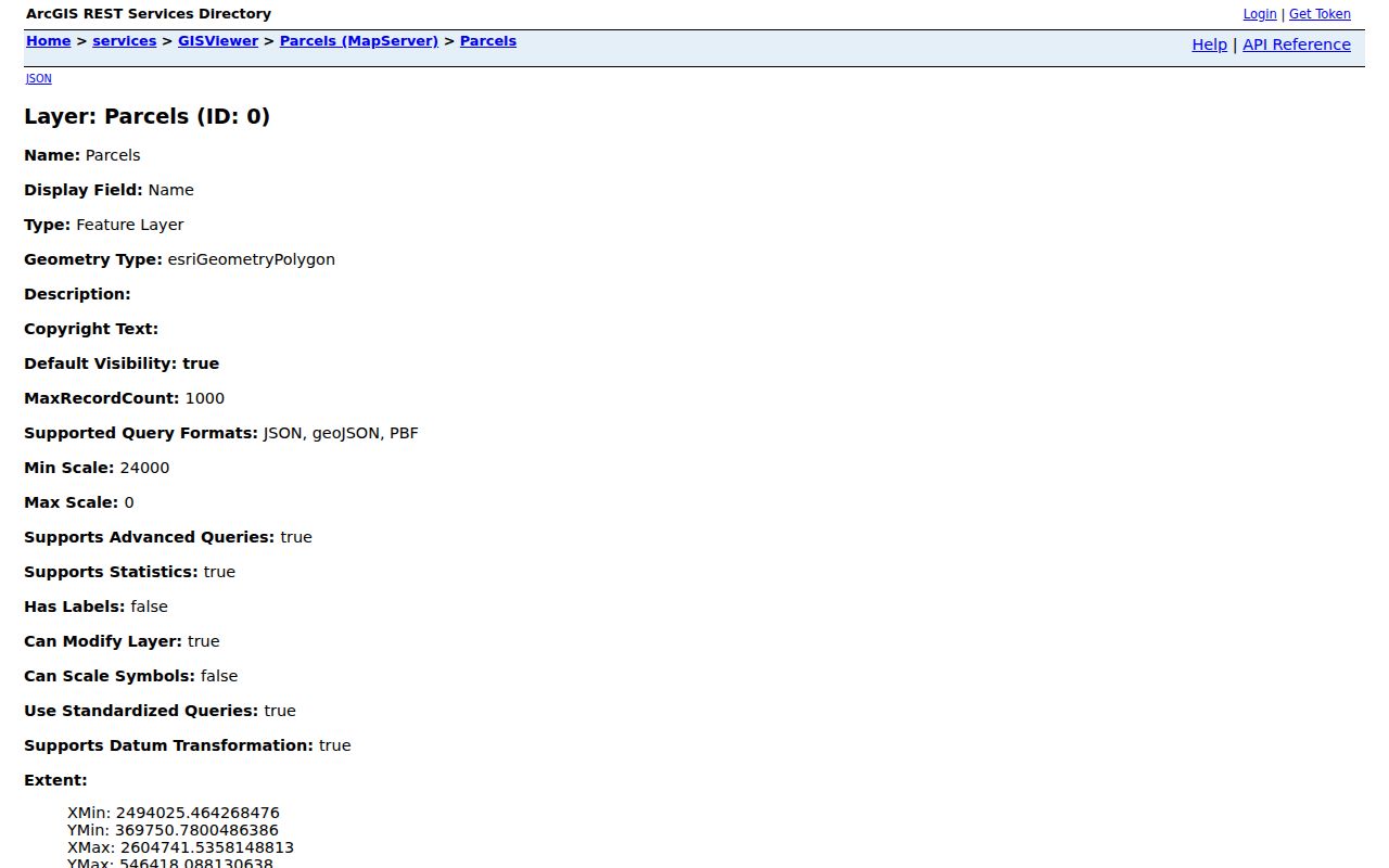
Municipal-boundary layers matter when the next record is a local permit or code file. Lackawanna County has 40 municipalities, so a postal city name alone is not enough to select the right municipal custodian.
Lackawanna County Tax Address Fields
An important Lackawanna County street-directory distinction appears in the current-year tax search. Its property fields include PIN and Location Address, while owner-information fields include Name, Mailing Address, City, and ZIP. The portal asks for house number and street name only in the Location Address field. It also warns users to enter only the name as it appears on the tax bill rather than fill several fields at once. That is a practical search tip, not a reason to equate a bill recipient with an occupant.
| Field group | Documented use |
|---|---|
| PIN | Property identifier for the tax path. |
| Location Address | House number and street name only for the billed parcel. |
| Name | Owner-information field using last-name-first examples. |
| Mailing Address, City, ZIP | Destination for tax mail, separate from the situs location. |
| Bill Type | County or Municipal/School selection for the bill path. |
Insider tip. A search that fails after several fields are filled may succeed when the tax page’s own one-identifier instruction is followed. A mailing address may be a post-office box, another property, a business, a representative, or a place outside the county.
Trace a Lackawanna County Deed Chain
For the ownership side of a street directory, the Lackawanna County Recorder of Deeds records and indexes instruments including deeds, mortgages, satisfactions, assignments, powers of attorney, leases, UCC filings, agreements, commissions, and veteran discharges. Begin with the current owner as grantee. Capture the grantor, grantee, recording date, document type, document or book and page reference, and legal-description clues. Search the prior owner as the next grantee or grantor as the document requires. The legal description is the stronger bridge when street numbers change.
The Recorder office page is the source for its recording and index work, access paths, and contact information.
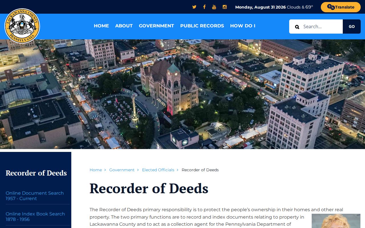
The Recorder Self Service route was verified at inspection as indexing from January 1, 1878 through August 27, 2026. For earlier territory, Lackawanna County had not yet formed, so the trail may move to Luzerne County or another historical repository.
The Recorder Self Service document search supports both-name, grantor, grantee, recording-date, document-number, book/page, legal-description, UPI, document-type, and advanced-name search routes.
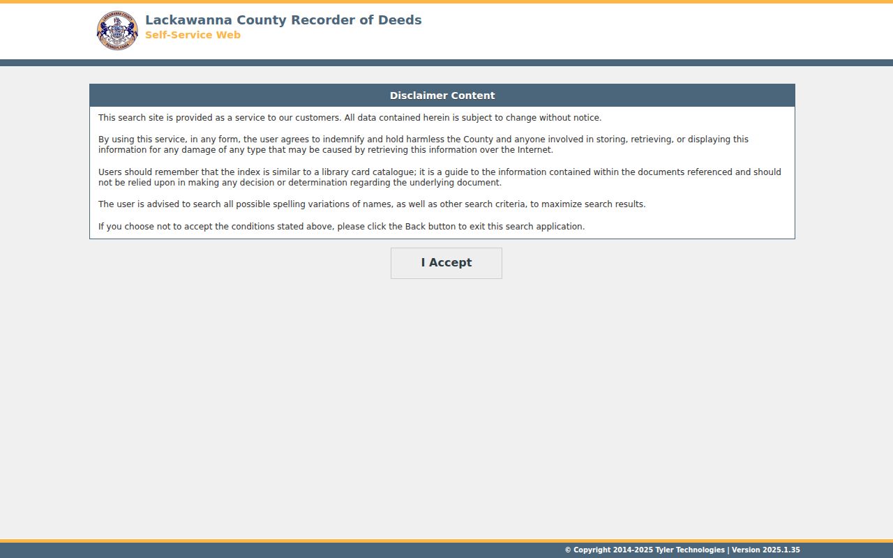
Use spelling variants where the Recorder directs them, but review the cited instrument before drawing a conclusion. An index is a finding aid, like a library catalog, rather than the filed document itself.
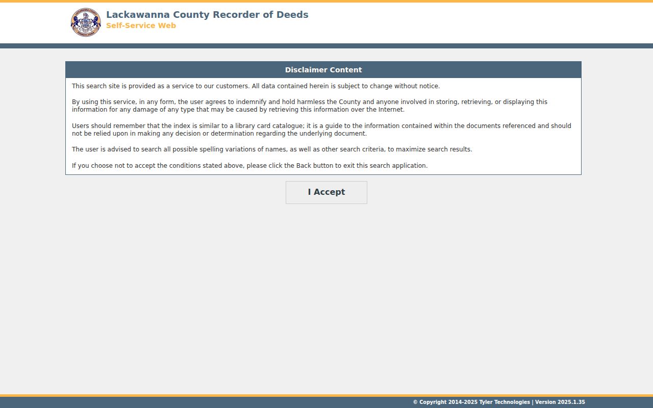
The Recorder access disclaimer explains the limits of the Self Service index and the need to confirm records from the underlying documents.
Searches are free to run, but images are obtained through the account, counter, mail, or phone channel. The Recorder’s FAQ reports counter copies at $0.50 per page and certification at $2 per document, while fees can change. The county-linked Laserfiche index books provide an additional historic path.
Lackawanna County Election Lists by Street
Pennsylvania’s online voter-status service is for status confirmation, not browsing an address or street. The documented street-and-house-number route is the public-information list governed by 25 Pa.C.S. § 1404. Under that law, a qualifying paper list may be arranged by street and house number, surname, or another residence-location form. A registered Pennsylvania elector must make a written request to the county commission, show identification, sign the prescribed use statement, and pay reproduction or postage costs.
Ask Lackawanna County Elections & Voter Registration for its current form, fee, and delivery rules rather than relying on an old price. The listed use is limited to elections, political activities, or law-enforcement purposes. Signature and unique registration data are excluded, and ballot choices are never part of the public-information list. The state registration-status service remains a separate, personal status channel.
Note: A nonmatch in a public record does not prove that a person does not live at an address.
Historic Lackawanna County Street Entries
Historic printed sources add a dated address layer, but they are not a replacement for a current street-directory record. The Lackawanna Historical Society identifies a 1876-77 Webb’s Scranton City Directory and a 1902-1985 Scranton directory run. The Lackawanna County Library System identifies Scranton and Carbondale local-history collections. Ask the repository whether the exact volume contains a criss-cross, also called reverse, section that organizes entries by street or address. Exact reverse-directory years and publishers were not verified, so that question belongs to the holding institution.
A criss-cross directory can point to a historical householder or business entry in one printed year. It cannot establish a complete household or update a current property record. The historical volumes are described more fully in the Lackawanna County city directories collection.
- Parcel
- A county property unit with an identifier used in assessment and mapping records.
- Situs address
- The physical location of a parcel, distinct from the address used to receive tax mail.
- Plat
- A recorded map or plan that can show lots, blocks, or a subdivision layout.
- Criss-cross directory
- A printed directory arrangement that can lead from a street or address to a dated entry.
Lackawanna County Street Record Coverage
No one Lackawanna County street directory contains every person on a road. The usable public record chain assigns a different task to each custodian: parcel identification, tax-mail comparison, map context, recorded ownership, limited election access, municipal building files, and dated print material. Use the result from one channel to decide whether the next one is warranted.
| Address record | What it can establish | Access path and boundary |
|---|---|---|
| Assessment record | Parcel, owner field, address, assessment data, and sales lead. | Assessment Database or office; read the live result. |
| Current tax record | PIN, location address, owner name, mailing field, city, ZIP, and bill type. | Official tax search; mailing destination is not occupancy proof. |
| GIS parcel map | Geometry, surrounding parcels, and municipal setting. | County GIS layers; adjacency is not a people list. |
| Recorder index | Recorded parties, transaction dates, document references, and legal-description trail. | Self Service, index books, counter, account, mail, or phone. |
| Election public-information list | Limited registration information in a permitted arrangement. | County request under Election Code conditions and use limits. |
| Municipal permit or code file | Address-tied construction or enforcement material where created. | Identify the municipality; no countywide address portal was verified. |
| Historic directory or map | Dated household, business, or building context. | Check the exact volume, scan, or collection coverage. |
For permits or code material, identify the municipality through GIS before contacting its custodian. A historic federal bibliography lists Scranton building permits for 1889-1985, but it does not prove all such files are online today.
Lackawanna County Street Record Timing
Record dates matter as much as the street address. Lackawanna County organized in 1878, which is the local record boundary used for deeds, estate files, and naturalizations described by the Library System. The Recorder’s direct search also reaches back to 1878, with linked index books and preservation paths. Before that date, a property or family trail in the present county territory can belong to Luzerne County instead.
The county’s 2025 comprehensive reassessment was its first in nearly 60 years and updated values that had been based on 1968. A current value, photograph, or description can therefore reflect a modern assessment project rather than a transfer or move. Keep the source date with a street-directory note so a current screen is not mistaken for historical evidence.
Note: Compare the record’s date and custodian before treating two address references as the same event.
Limits of a Lackawanna County Street Directory
A public owner field is not a household-members list. A mailing address can be separate from the parcel. GIS shows property context, not a roster, and a recorded transaction identifies a document connection rather than every person at an address. Pennsylvania’s Address Confidentiality Program can use a substitute address in specified public records, including voter-registration and marriage-license records. Protected addresses must not be reconstructed from fragments. DMV, utility, delivery, and private customer information are not ordinary public address sources.
When the goal shifts from a whole road to confirming one named person, use the appropriate official custodian and compare records that are actually about that person. A street-directory result should always stop where the public record stops.