
Lackawanna County Resident History by Era
The backward trail begins with an address, a parcel, and the year being investigated. Recorded deeds are the strongest route for ownership, while directories and census schedules add household context. Sanborn maps can show the building and street setting. Newspapers and probate records can help close a trail after a death or estate event. None of these sources alone is a complete list of who lived at a property, so use the period each one actually covers and compare the results before drawing a conclusion.
| Source | Years It Covers | Where Held | What It Shows |
|---|---|---|---|
| Recorder direct document search | January 1, 1878 to August 27, 2026 at inspection | Recorder Self Service. | Grantor, grantee, legal description, UPI, date, document number, and book or page route. |
| Recorder index books | Historic auxiliary route | County-linked Laserfiche collection. | A second retrieval path for historical index books. |
| County deed era | 1878-present | Recorder and courthouse. | County-era property records; earlier territory needs Luzerne sources. |
| Scranton directories | 1876-1877 anchor; 1902-1985 Historical Society run | Historical Society and local libraries. | Published household and address entries in available years. |
| Census access | Library listing: 1790-1930; federal 72-year release rules govern newer schedules | LCLS Reference Department and federal sources. | Household members, age, birthplace, and relationship fields. |
| Sanborn maps and permits | Scranton maps: 1884, 1888, 1898, 1919-1920; permits: 1889-1985 historic lead | Library of Congress, local collections, and municipal path. | Building footprint, street context, or construction-change timing. |
For a recent transfer, start with the present parcel and work back through recorded deeds. For a household question, place available directory years beside the closest census schedule. For a changed building or street setting, add a map or municipal-file inquiry only after identifying the relevant municipality.
Note: The era table describes research leads, not proof that a particular person occupied an address for the entire year shown.
Lackawanna County Resident Records at Recorder
The Recorder of Deeds Self Service search is the key recorded-transaction route. Its inspected form reports records verified from January 1, 1878 through August 27, 2026, even though county navigation keeps separate 1957-current and 1878-1956 labels. The Recorder compares the index to a library card catalog rather than the document itself. Search spelling variants, inspect the deed or other instrument, and preserve the document reference before treating a party name as a part of an address trail.
| Recorder search field | How it helps the backward trail |
|---|---|
| Grantor or Grantee | Party-role fields used to move from a current acquisition to the prior transfer. |
| Both Names | Autocomplete name search entered Last First; a surname plus first initial gives broader results. |
| Recording Date Start and End | Optional date pair in mm/dd/yyyy format for narrowing a transfer period. |
| Book, Book Type, and Page | A route to a known instrument; map books use a book number followed by M. |
| Platted Legal fields or UPI | Municipality, lot, block, unit, and parcel identifiers can bridge a changed street number. |
| Document Types | Multi-select control with deeds, mortgages, leases, liens, maps, easements, covenants, permits, and other indexed categories. |
Open the county-linked Recorder index-book collection when an earlier book route is needed.
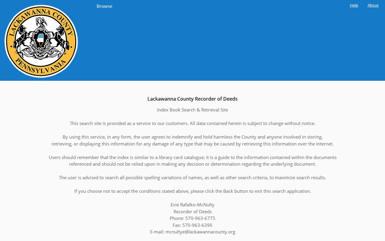
The index-book page itself warns that the index is a guide to the documents, so the next task is to obtain and read the underlying instrument through the Recorder's available copy channel.
A Recorder result can identify grantor and grantee, document type, recording date, legal-description clues, UPI, and document or book-page reference. The portal is free to search, but copies are purchased through its cart or account. The Recorder FAQ reports counter copies at $0.50 per page and certification at $2 per document; fees can change. The office also provides counter, mail, and phone channels, which matter when an online result is incomplete or a copy is needed.
Trace Lackawanna County Deed History
Begin with the current owner and legal description, not only a street label. The county Assessment Database accepts property-owner, street-address, and parcel-ID searches. Record the parcel ID, owner field, and legal-description clues from the result. Then find the present owner's acquisition as grantee in the Recorder index, capture the prior grantor, and repeat. Lot, block, subdivision, and metes-and-bounds terms are more stable bridge keys than a street number when a road or numbering pattern changes.
- Search the current address in the Assessment Database and record the parcel ID, owner field, and legal-description clues.
- Search that owner as grantee in Recorder Self Service and open the recorded acquisition rather than relying on the index line alone.
- Capture the earlier grantor, recording date, document type, book or page reference, and the legal-description terms that stay with the parcel.
- Use the prior party as the next search point, repeating the grantee-to-grantor sequence as far back as the direct index reaches.
- Move to the linked index books, Recorder counter, mail, or phone route when the needed record is not available through the direct search.
- Grantor
- The party who transfers an interest in the recorded instrument.
- Grantee
- The party who receives that interest. Searching a current owner as grantee can reveal the purchase instrument.
- Chain of title
- The sequence of recorded transfers connecting the parcel through time, checked from the underlying documents.
- Legal description
- The lot, block, subdivision, or metes-and-bounds description tied to the land, often steadier than an old street number.
Assessment and tax results separate a property's location from its tax-mail destination. A mailing address may be a post-office box, representative, another property, or an address outside the county. It is not proof that the addressee occupied the parcel. Preserve the site's address, mailing field, parcel number, municipal code, and recorded legal description as separate facts.
Note: A deed chain documents recorded interests in property, while an address-history search needs additional sources to identify a historical household.
Lackawanna County Address Records Before 1878
Lackawanna County formed in 1878. Earlier records for territory now within the county can belong to Luzerne County, rather than representing a break in a family's local history. The Library System uses the 1878 boundary for Recorder deeds, Register of Wills estate records, and county naturalizations. When a property or family trail reaches that year, switch the historical custodian before deciding the record is missing.
The same date check applies to local directory and municipal evidence. Scranton was incorporated as a borough in 1856 and as a city in 1866. Historical documents can use municipal labels differently by era, so retain the wording printed on the directory, deed, map, or notice. The change in county custody is a research boundary, not evidence that the house, street, or family disappeared.
Lackawanna County Household Records in Directories
Directories supply address continuity in years between census schedules. The confirmed Scranton anchors are the 1876-1877 Webb directory and the Historical Society's 1902-1985 Scranton run. The Scranton Public Library local-history collection and Carbondale's Alice Ahern Lynady Room add local directory routes, though their accessible descriptions do not post a complete volume-by-volume run. Start with the closest available year, copy the entry exactly, and check nearby volumes forward and back. The collections, shelves, and entry-reading rules are detailed on the Lackawanna County city directories page.
The Library System lists U.S. population census material from 1790 through 1930 on microfilm or database, while the federal 72-year release rule controls newer public schedules. Pair a directory address with the closest released census year. The directory can offer a name and address in the intervening years. The census can add household members, ages, birthplaces, and relationships that a directory often omits.
Consult the Lackawanna Historical Society when a directory date needs a local map, newspaper, manuscript, photograph, or finding-aid companion.
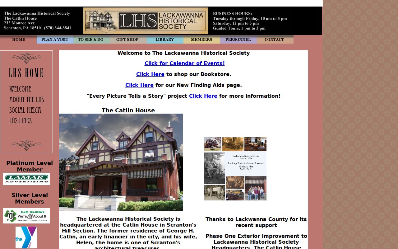
The Society's collections give a place-based route for testing an address lead, while the dated directory or census entry remains the household evidence.
- Choose the directory volume nearest the deed or address date and save its full printed entry, page, and year.
- Check the next available local directory in both directions, noting spelling changes, address moves, and any printed cross-reference.
- Place the closest released census schedule beside those entries and compare the household facts rather than assuming each name matches.
- Test a gap with a newspaper notice, recorded instrument, map, or probate record before deciding that a household moved or ended.
A reverse or criss-cross section can be useful when the individual volume contains one, but exact local reverse-directory years and publishers were not verified. Ask the repository about the specific volume. A directory line is a dated household lead, not a full account of everyone who lived in a building.
Sanborn Maps for Lackawanna County Houses
For a Scranton house, the Library of Congress catalogues Sanborn editions for 1884, 1888, 1898, and 1919-1920. These maps can show a building footprint, use symbols, nearby structures, and street context across growth periods. They can also help test whether an address in a directory refers to the same physical place after a building change. A map is not a people list, so pair its date with a directory, deed, newspaper, or census result.
Historic map work must also respect the limits of address labels. The legal description from a deed and the parcel identifier from assessment research can survive a street-number change better than a map label alone. When the building or street does not match, compare the deed's lot, block, subdivision, or metes-and-bounds language with the map and the record's printed municipality.
Lackawanna County Resident Estate Trails
Newspapers and probate help resolve an address trail after a death. Albright holds local newspaper microfilm, including an incomplete Scranton Republican run from 1867 through 1936 and specified later title runs. A dated obituary, funeral notice, or property transfer can test a directory entry. The Register of Wills and Clerk of Orphans' Court reports probate filings back to 1878 and offers a genealogy-search route for wills and estates. Its form asks for an identified decedent and related details, so it is best used after a newspaper or directory supplies a solid name and date.
Marriage records are a different kind of identity lead. The county says a marriage license records applicants and issuance, not a current residence. For historical work, the Library System gives October 1885 to the present as the Lackawanna marriage-record range, and the issuer county should be confirmed. A marriage date can support a timeline, but it should not be used to place either applicant at a particular address.
Review the county's marriage-application record guidance as an example of a record with its own custody and verification rules.
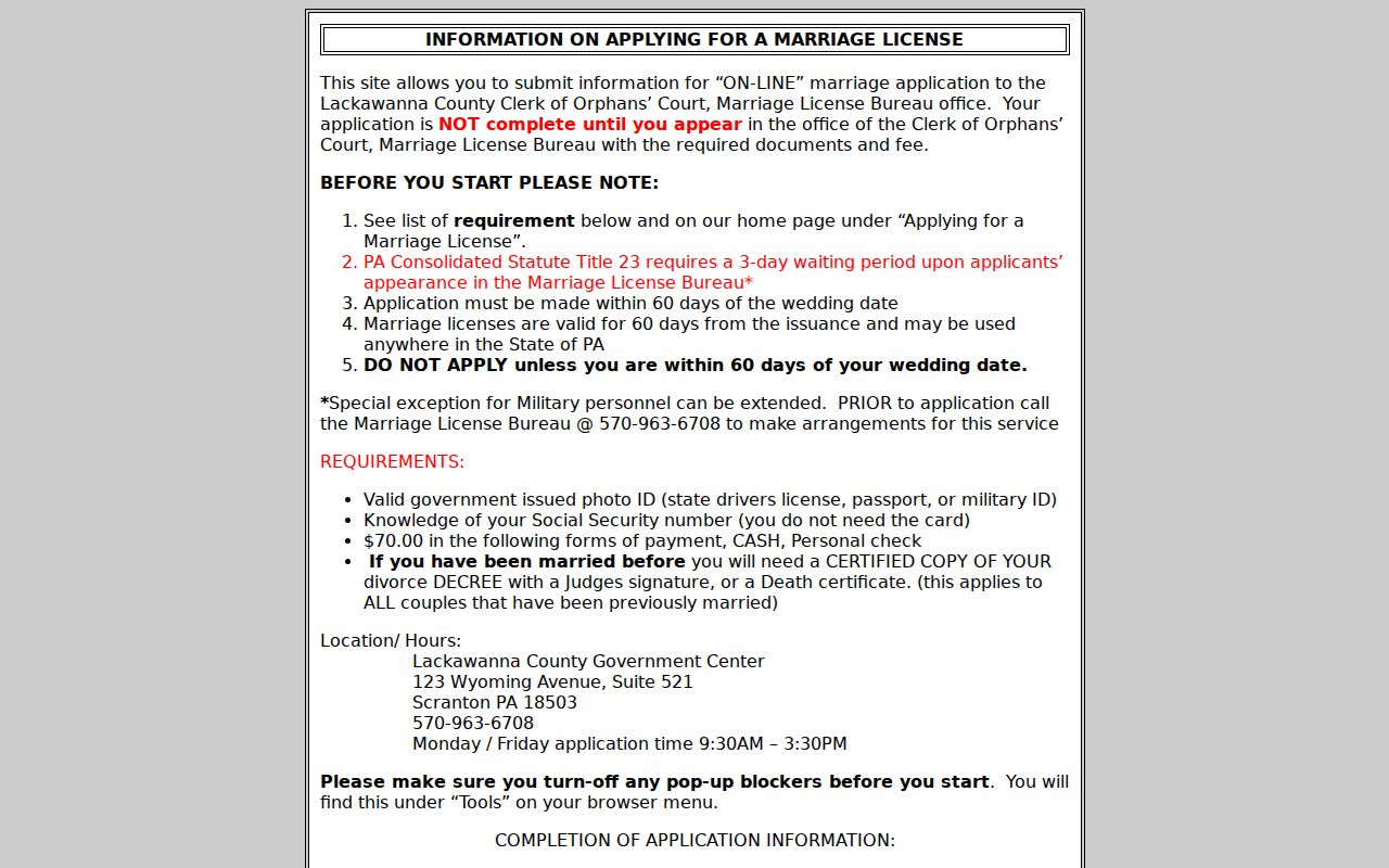
The application guidance reinforces the distinction: an event record must be confirmed with the issuing office and does not replace address-based property or household evidence.
Lackawanna County Property Records and Permits
Municipal permit and code files can date construction or a building change, but Lackawanna County does not publish one verified countywide address-search portal for those records. Use the County GIS municipal-boundary information and the parcel record to identify the relevant city, borough, or township. Then contact that municipality's building or code custodian and ask how it maintains the address-specific file, whether a Right-to-Know request is needed, and which dates are available.
A historic federal bibliography identifies Scranton building permits for 1889-1985. That is a useful coverage lead, not proof that every permit file is online or that a current custodian uses the same system. A permit can date work on a structure, while deeds, directories, census schedules, and newspapers remain the records that test ownership and household history.
Note: Request a narrow municipal file by address, record type, and time period instead of assuming every municipality keeps the same access system.
Lawful Limits on Address Research
Historical-address research is best used for family history, estate questions, house history, civic curiosity, or confirming a recorded property trail. Public parcel ownership and tax-mail fields do not identify every occupant. The county's own tools separate a parcel's location address from a mailing destination, and the Recorder index is a guide to recorded documents rather than a complete account of daily residence. Do not try to rebuild protected or private information from public fragments.
Private customer lists, utilities, and protected voter information are not ordinary public residence rolls. A careful trail states what a dated public record supports and what it does not. If the address evidence is incomplete, leave the connection unresolved rather than turning a parcel owner, mailing address, or map label into a claim about a household.