
Lackawanna County Neighbors by Block
Map the block first and evaluate people-related clues second. The county GIS parcel layer establishes which parcels touch or face a focal parcel. Assessment and tax records may provide an owner field and a separate tax-mail destination. The Recorder supplies the recorded ownership trail. Historical directories can add a dated householder lead, while a public community contact belongs to the relevant municipality rather than a private roster.
| Source | What It Shows About a Block | Access |
|---|---|---|
| County GISViewer | Adjoining and facing parcel geometry, land-record layers, and municipal context. | Public map services. Geometry is not a household list. |
| Assessment Database | Parcel, owner field, address, assessment details, and sales-search lead. | Public owner, street-address, and parcel-ID searching. |
| Current-year tax search | PIN, location address, owner name, mailing address, city, ZIP, and bill type. | Public current-year page. Mailing destination is not occupancy proof. |
| Recorder index | Recorded ownership transition, document type, parties, date, and legal-description lead. | Direct index verified from 1878 through August 27, 2026; copies have separate channels. |
| Authorized election list | Limited registration information arranged by street and house number where the statutory process permits. | Written request, identification, signed statement, costs, and use limits under election law. |
| Historical directories | Dated printed householder and address context in available volumes. | Library or historical collection, with year-specific coverage. |
Parcel ownership and an occupancy claim are different things. A tax bill can be sent to a post-office box, representative, business address, or another property. Treat each source as a narrow fact about the parcel, record, or time period it was made for.
For a historical block, place a directory entry beside the year printed on the volume, then test it with a deed date, census release, newspaper notice, or map edition. A current GIS polygon does not recreate an earlier block. The Recorder’s direct search and county formation history also mark an important boundary: its inspected index reaches back to 1878, while an earlier record for land in the present county may belong with Luzerne County or another historical repository. Keeping the parcel number, legal description, source date, and municipality together makes the trail easier to audit and reduces the chance of assigning a record from one block to a nearby address.
GIS Layers for Lackawanna County Neighbors
The county GISViewer lists LandRecords, Parcels, ParcelsAnno, and Basemap services. Use the parcel layer to establish map context, then return to the Assessment Database for the individual parcel record. Municipal-boundary layers matter because a borough, city, or township may be the custodian for a local contact or address-based municipal record. The map supports adjacency, but it does not identify every person in a nearby building.
The Lackawanna County GISViewer service directory shows the parcel and land-record layers used to place an address on its block.
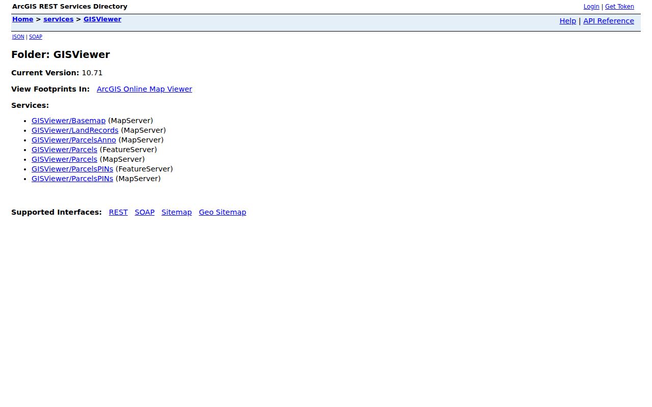
Record the parcel number for each adjoining or facing polygon instead of trying to read names from map labels. That small step makes later assessment and Recorder checks much less likely to mix up an adjacent parcel.
Mapping a Lackawanna County Block
A block method uses a clear sequence: address to parcel, parcel to adjacent parcels, parcel to record, then record to the most recent documented ownership lead. This keeps the search anchored to an address instead of turning a map into a people directory. The Recorder’s legal description can be a more stable bridge than a street number when a road name or numbering convention has changed.
- Locate the focal address in the Assessment Database or GISViewer and note the parcel or PIN shown for that property.
- Visually identify adjoining and facing parcel polygons in GIS. Write down each parcel number, not a presumed household name.
- Open each parcel through the property record path and compare its owner field, situs address, and separate mailing details.
- For a current ownership question, compare the owner lead with the Recorder’s most recent instrument and its legal description.
- For a whole named street rather than the immediate block, use the fuller Lackawanna County by-street directory record chain.
A parcel is a mapped unit of land. Its owner field is a property record field, not proof of every occupant, renter, guest, or household member associated with the address.
Lackawanna County Voter List Limits
Pennsylvania’s online registration-status service is designed for a voter to check status. It is not a public street-by-street browser. Under 25 Pa.C.S. § 1404, a public-information list may be arranged by street and house number, but the county route requires a registered Pennsylvania elector, written request, identification, a signed use statement, and reproduction or postage costs. The statute restricts the permitted uses of that list.
The Pennsylvania voter registration-status service is the official status channel, while the county Elections office can provide its current list form and procedure.
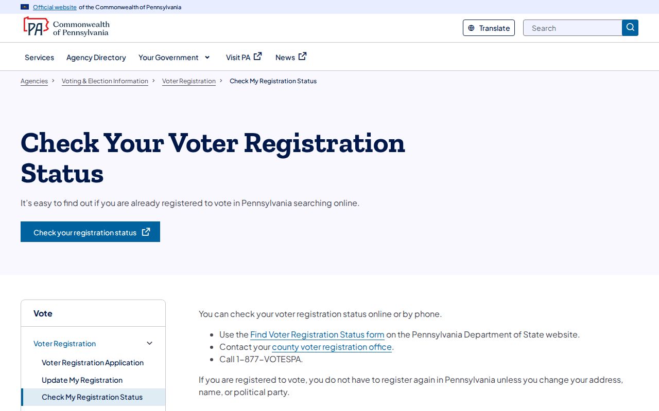
Electronic signatures, SURE registration numbers, driver-license information, and partial Social Security numbers are excluded from the public-information list rules. It also does not reveal ballot choices. An authorized list can show limited registration presence, not who lives on a block.
Mailing Address Myth for Neighbors
The Assessment Database and current-year tax search separate the property’s location address from owner mailing fields. That distinction is a valuable Lackawanna County research detail. A mailing address can lead to a person or organization receiving a bill, yet it may be a post-office box, another property, a representative, or an address outside the county. It cannot settle who occupies the property.
| Official record category | Commercial neighbor-tool category | Best reading |
|---|---|---|
| Parcel, tax, deed, court, or election record held by its custodian. | Compiled data that may combine public and commercial sources and may carry charges or errors. | Use the official record for the specific fact it was created to show. |
| Shows a dated, limited record connection such as ownership, mailing, deed party, or permitted registration data. | May present a broad profile without explaining the source date or custody. | Do not turn either category into a full household list. |
That is the practical myth to avoid: a name near an address is a lead for verification, not a conclusion about the people nearby. When records conflict, retain the source and date, then ask the creating office about its own record.
Municipal Context for Lackawanna County Neighbors
County Planning identifies 40 municipalities, so the postal city, municipality, parcel map, and local record custodian may use different place labels. Before seeking a municipal contact, use the GIS municipal-boundary layer to identify the relevant borough, city, or township. That prevents a request from going to a nearby government that does not hold the address record.
For a historical block question, the County Library System’s local-history collections, including Scranton’s Albright collection and Carbondale’s Alice Ahern Lynady Room, plus the Lackawanna Valley Digital Archives can be useful when the right place and date are known. Their directories, newspapers, clippings, maps, and historical documents are year-specific evidence, not current neighbor lists.
Public Contacts, Not Private Rosters
Research did not identify a verified, current countywide official umbrella directory of neighborhood associations, homeowner rosters, or block-watch membership. For that reason, no association name or household-contact list should be invented for a local block search. Identify the municipality from GIS, then use its official community, recreation, or planning contact where a public organization contact is actually posted.
The Lackawanna Historical Society is a countywide research library with public contact and research service, not a neighborhood roster. Its maps, atlases, newspapers, manuscripts, and finding aids can help test a dated address or institution lead. Ask first whether a collection has a relevant person, organization, or street index and whether an appointment is needed.
Note: A public organization contact can help identify the right local office, but it does not authorize access to private membership information.
Fraud Guard for Parcel Owners
The Recorder’s Fraud Guard route is an insider tip for a parcel owner monitoring recorded-document activity. It is a notification service for a filed document tied to a monitored property or name. It does not decide whether a document is fraudulent, verify identity, or remove a filing. If an alert appears suspicious, contact the Recorder through its official channel and obtain the document details before taking further action.
The Recorder Fraud Guard enrollment route explains the county’s recording-related alert service.
A fraud alert is a prompt to check the recorded instrument with the custodian. Do not rely on a mailed notice or message simply because it repeats a parcel number or deed reference.
Lackawanna County Neighbor Privacy
Some absences are intentional. The Pennsylvania Address Confidentiality Program lets eligible participants use a substitute address for specified public records, including court, state, voter-registration, and marriage-license records. Court restrictions, sealed files, and protected voter information also limit what a public block search can return. Utility, delivery, and private customer data are not ordinary public records for identifying nearby people.
The Pennsylvania Address Confidentiality Program describes the substitute-address safety route for eligible participants.
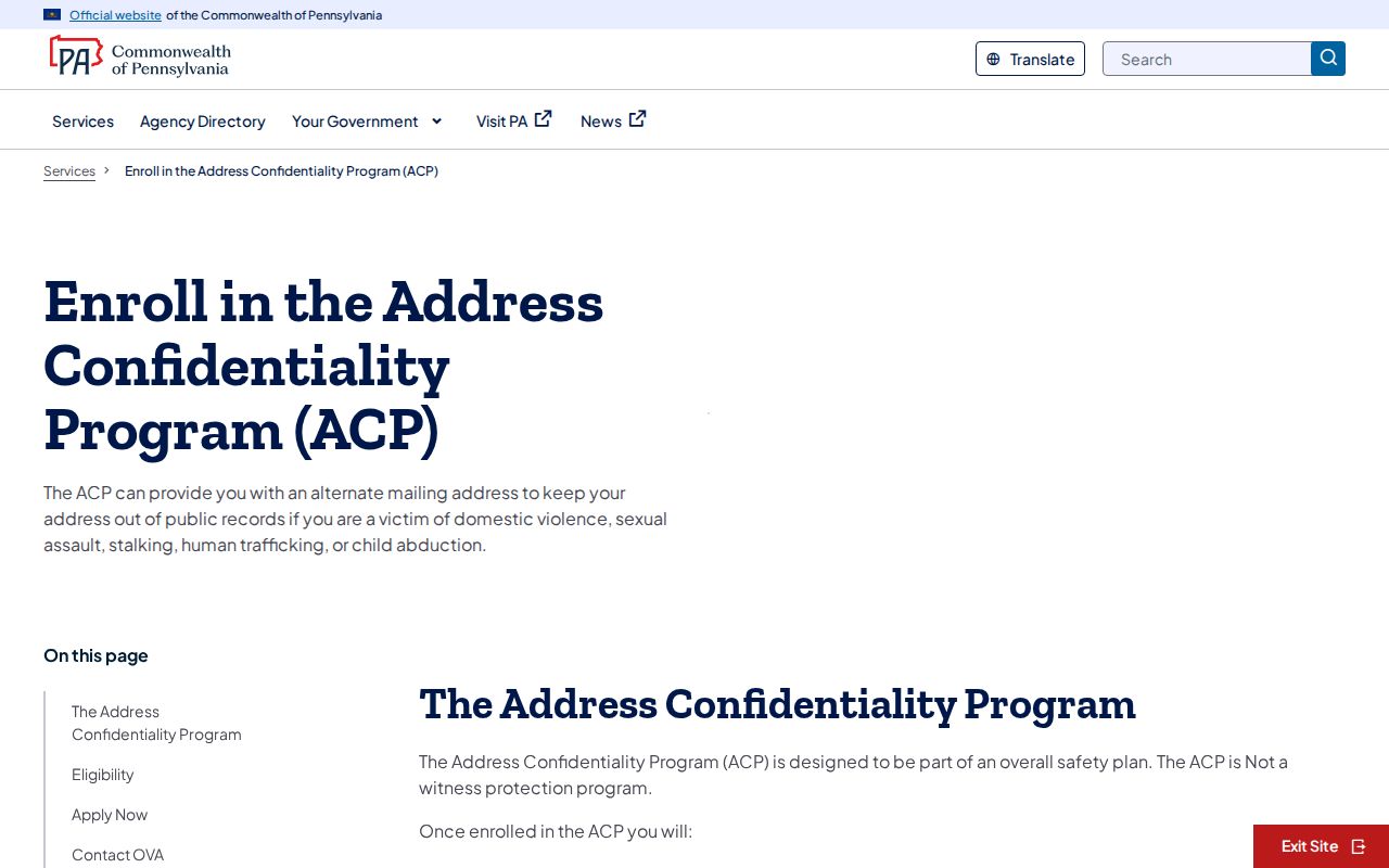
The program is not witness protection and works as part of a safety plan. A missing public address may reflect a lawful protection rather than a gap to be reconstructed.